Lucky for us North Easterners we have tons of trees and an oncoming winter which together mean: fall foliage galore! While you can scour the internet looking for tips on where to find the best fall foliage, New York State’s tried and true Shawangunks are the OutdoorFest recommendation for an easy, gorgeous and adventure-filled trip. Specifically, the hike to Gertrudes Nose offers some of the best (if not THE best) views in all of New York State.
Hike Gertrude’s Nose
Here’s a simple itinerary to get you up to the “Gunks” for a day of outdoor fun:
1. As always: get your map! You’ll want the NYNJ Trail Conference Shawangunk Trails Map which you can buy online or pick up at a local retail shop.
2. Rent a car or hop on the bus to New Paltz where you will be able to take a short cab ride to the cliffs (take the number so you can get a ride back!)
3. Head to Minnewaska State Park
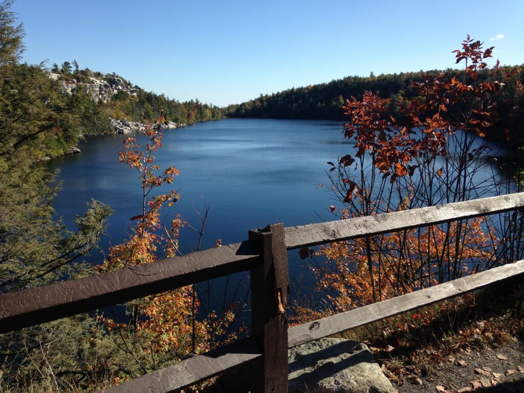
4. Go Explore! There are a ton of amazing trails and view points here but a relatively relaxed option is the hike out to Gertrude’s Nose which takes you from the parking lot along Lake Minnewaska, down the carriage roads and out to one of the most dramatic views in the Shawangunks.
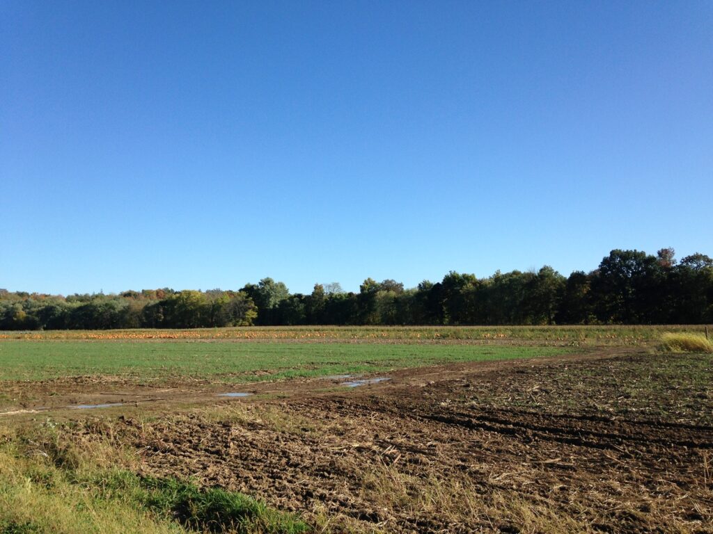
5. This time of year you’ll probably see the pumpkin patches growing strong along the side of the road. Don’t let the season pass by! Make a quick stop at Jenkins – Lueken Orchards to pick apples and stock up on pumpkins and other seasonal fare before heading home.
Directions
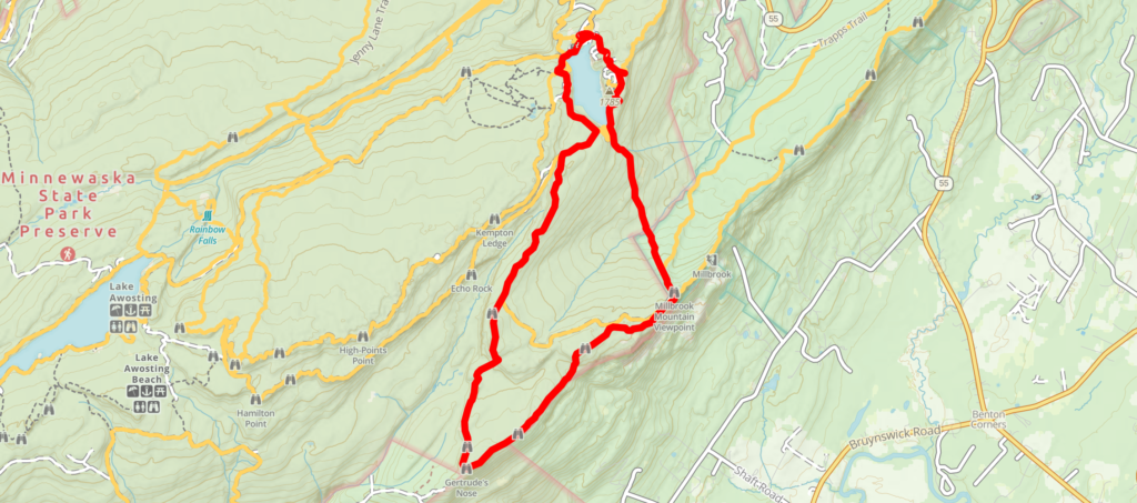
- Follow driving directions to Minnewaska State Park. Once there, choose the parking lot at the very top of the hill
- You’ll start by following the carriage road on the west side of the lake. There are great trail signs along the way!
- Turn right at the yellow Millbrook Mountain Carriage Road (the views begin!)
- You’ll make another right onto the red trail which actually brings you out to the nose. Be careful if it’s rainy or icy – it can get slippery up there!
- After the nose, you continue following this trail all the way back to the carriage road. From there, you can choose to take a hard left and take the Millbrook Carriage Road back (easy option) *or* follow the Millbrook Mountain Trail (hard option, pictured below).
