 Last week we launched our first Mappy Hour Chapter meet-up in North West Arkansas. The rain held off and it turned into a beautiful evening at the Louise Fieldhouse Patio. Mappy Hour is about bringing people together around maps, guidebook books, and adventure stories, and what better way to show what we are all about then to have Becca Jungers guide us through the basics of reading a topographical map.
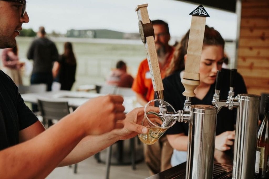
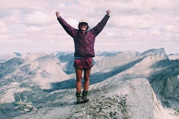
Becca is an experienced mountaineer who spent 7 years leading 40-day backpacking trips through Wyoming, carrying 35+ lb packs, and rock climbing. There probably isn’t an adventure she hasn’t done. Before Becca dug deep into the contours of map reading, she told us what getting out in the wilderness meant to her and why she encourages others to get out into nature.
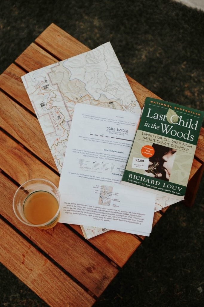
Becca shared with us one of her favorite books written by Richard Louv “Last Child in the Woods”. It describes the human cost of alienation from nature in children. Among them: diminished use of senses, attention difficulties, and higher rates of physical and mental illness. In the last decades, there is a lack of kids being exposed to uncontrollable environments and the variables by being outside. This topic is really important to Becca and she hopes by sharing her experiences she can encourage others along with parents to let their children feel the powerful & giving energy nature can give us. 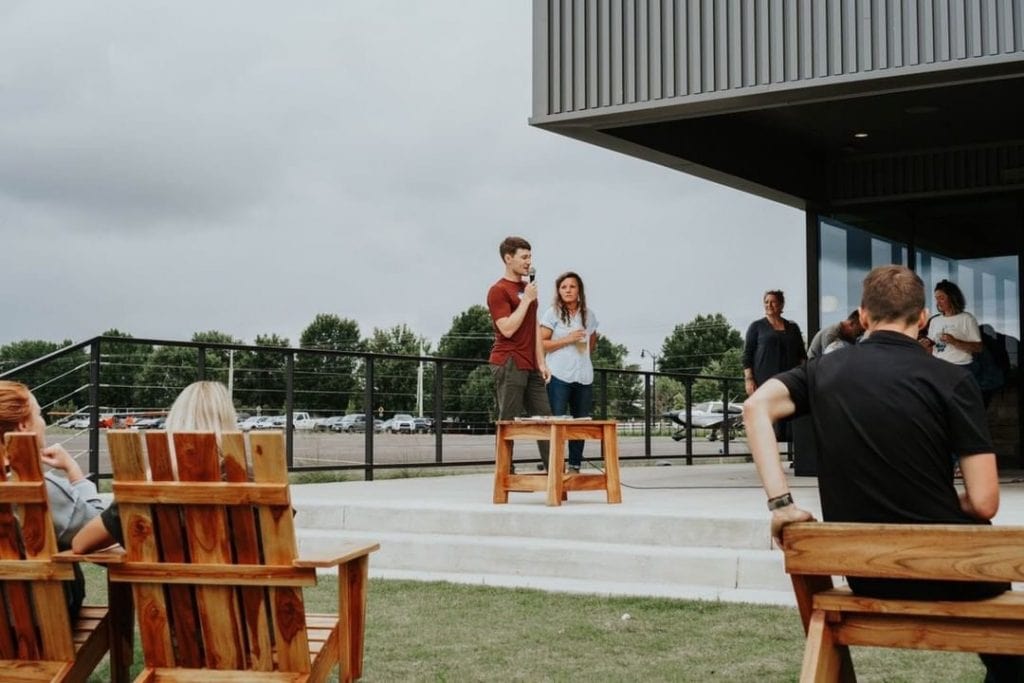
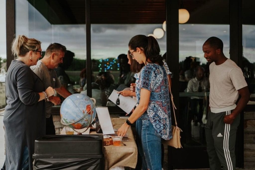
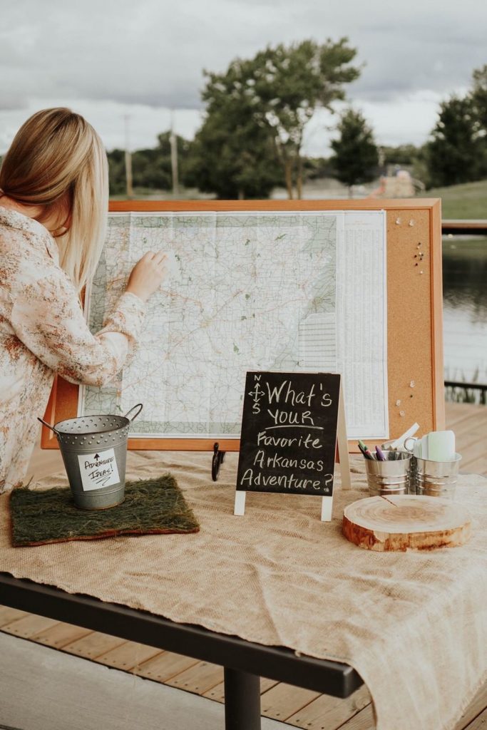
We were all gathered around topo maps of the Buffalo River as we learned these types of maps give you the power to visualize three-dimensional terrain from a flat piece of paper. By understanding what the contour lines meant you can determine what is around you. As an example, she shared her learning tool secret! Draw a dot on your knuckle and then circles around it. When you raise close your fist you can see the top raises up. That is an example of high elevation in that area, like a mountain top, hill, or slope. Seeing everyone engage in this activity was so fun!
We then moved on to the map legend. It’s loaded with map-reading clues and navigational data. Becca educated us about what each line, symbol, and color mean. Generally, green indicates denser vegetation, while light or colorless areas suggest open terrain. And, as you’d expect, streams and lakes are shown in blue. The legend can be the most helpful tool on a map which lists key data like the map’s scale, contour- and index-line intervals. 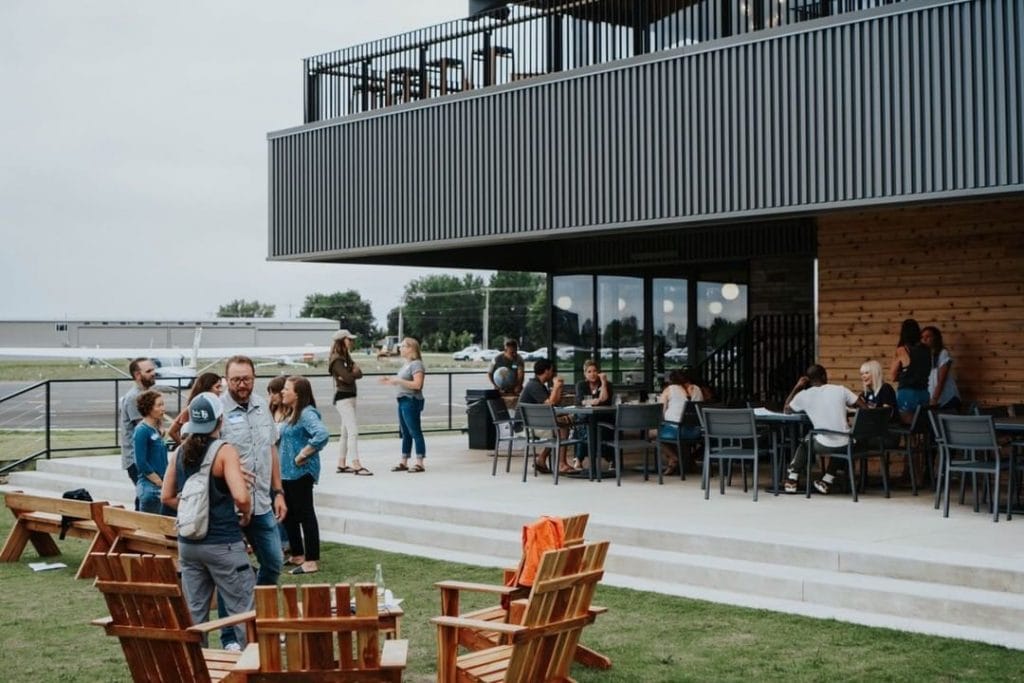
Afterward, we gathered discussing the adventures in North West Arkansas, met new friends, and were ready to grab a map, hit the trail, and put our new knowledge to the test!
Thank you to our huge sponsors & volunteers for his Mappy Hour. Rope swing, Kim & Charles Walsh, Megan Munro, Louise Fieldhouse employees, and to all of you who joined. We are very appreciate and look forward to building this community of NWA city dwellers and adventure lovers. Be on the lookout for our next meet-up, which lucky for us, it’s monthly!
We are so grateful to have Becca be apart of our community here. Over the years she has greeted us with a smile, kind words, and the best cup of coffee. She is currently an Assitant Manager for Onyx Coffee lab, but just under a year ago Becca underwent life-changing brain surgery and while Becca lost hearing in her right ear, doctors were able to successfully avoid nerves affecting the right side of her face and body. That next stage for Becca has been recovery and with that comes the financial responsibilities of medical bills. Through it all Becca has shown grace, faith, and just a kick-ass spirit.
if you would like to donate please visit https://www.gofundme.com/beccajungers?fbclid=IwAR1J4BZi4Dti8OwJmpYw5DgtLtYwDLrSK9_CqBeDNsQMn4mHtYVh6ieJTco
You can also follow her story https://www.caringbridge.org/visit/mass2masterpiece
Happy Trails!!
Photography: Jared Hall