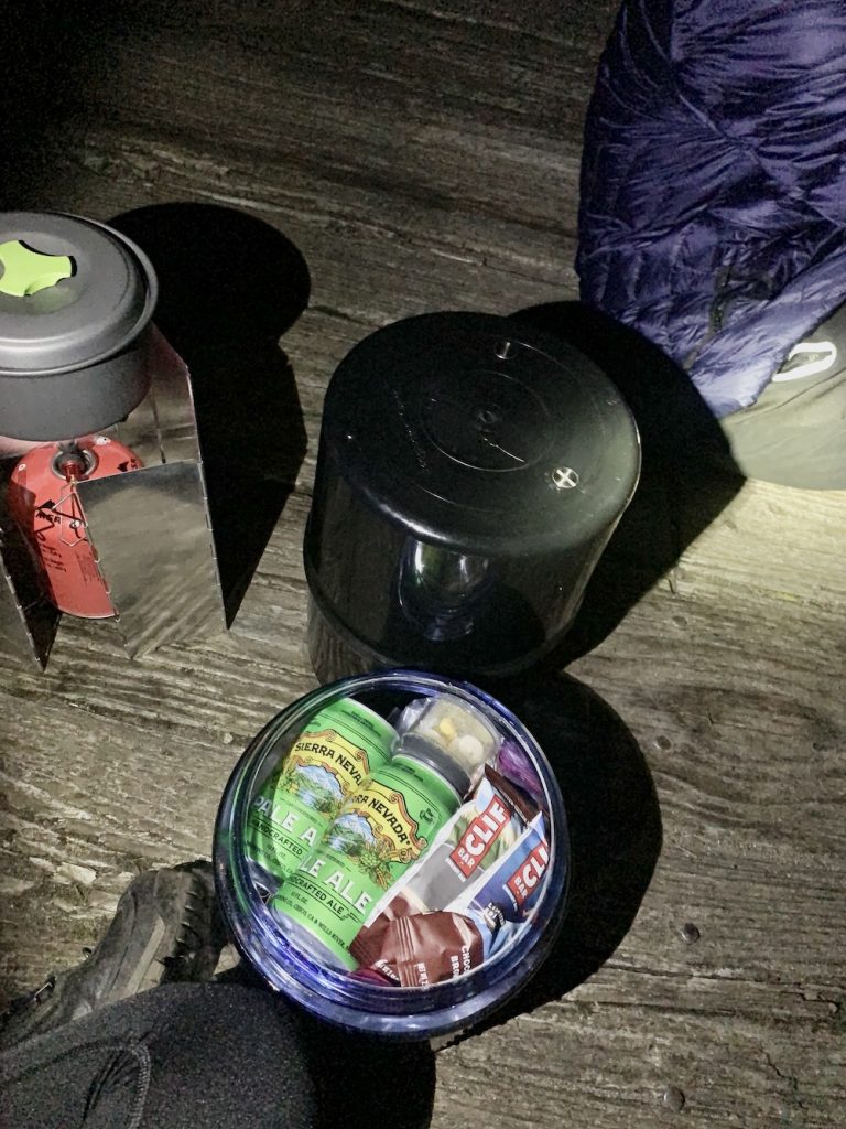
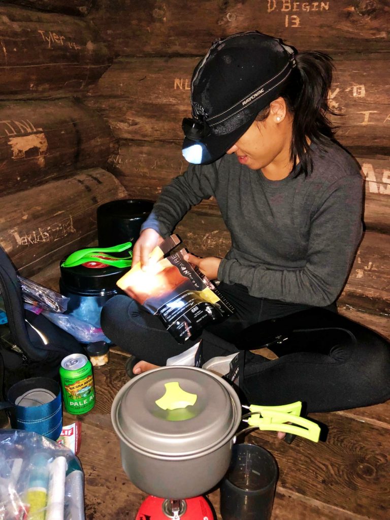
Editor’s Note: Thank you to Sierra Nevada Brewing Co. for supporting this adventure with your delicious brews!
The highest point in New York state is Mount Marcy in the Adirondack High Peaks region. The mountain summits to a proud 5,344’ with sweeping views of surrounding peaks.
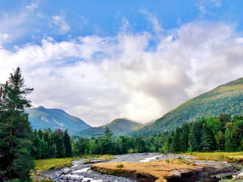
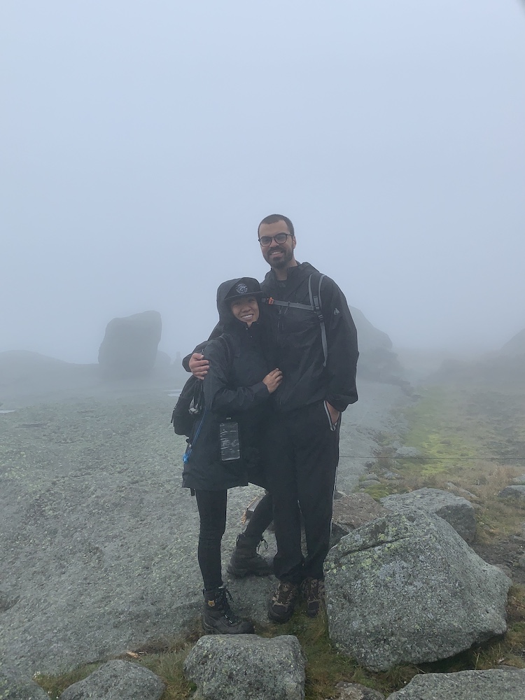
…Unfortunately, my partner Greg and I were not so lucky to catch such rewarding views during our visit! The weather conditions weren’t in our favor. Cloudiness, light rain, fog, and chances of lightning storms literally dampened our scenic backpacking plans. Regardless, we were hellbent on taking advantage of our long 3-day weekend.
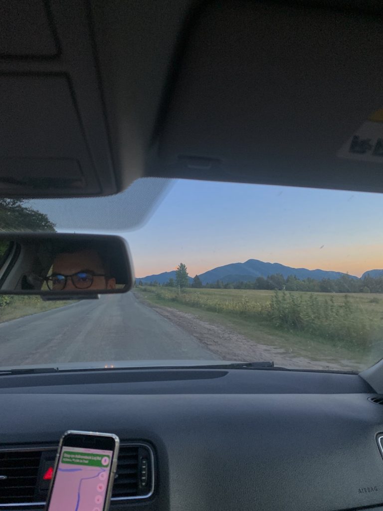
We had been dreaming of our first visit to the Adirondacks for a while, since the 5-hour drive from NYC requires time & mental driving energy to be put aside. We yearned for taller New York mountains, greater acres of trees, and cooler seasonal temperatures.
tl;dr We navigated our first Adirondacks backpacking trip by crushing miles in cool temps and light rain. While there were no views, we felt accomplished after summiting Mt. Marcy! And we had an eye-opening experience helping fellow hikers on a challenging return trek.
Greg & I reluctantly but nonregrettably shortened our trip from 3 nights to 2 nights due to safety concerns of lightning. Whether it be summits, open spaces, or falling trees — we’re not willing to risk things. Ironically a tree had fallen just 40 feet from us when we arrived at our 2nd lean-to.
A tree fell in the forest, we were around to hear it, and it definitely made a sound. And it definitely gave us heart attacks.
On the topic of safety, we followed through with the Adirondacks regulation of using bear canisters. NY DEC’s website implies that the black Garcia canisters hold up better to bear encounters versus the clear BearVault canisters. We utilized both types since we borrowed the black canister from a dear friend (thanks, Christine!) and Greg already owned a smaller clear canister.
Tip: The High Peaks Information Center offers gear rental such as bear canisters and trekking poles. It’s worth looking into if you don’t already own that gear.
Night 1, Day 1:
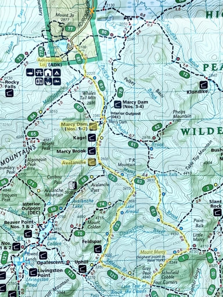
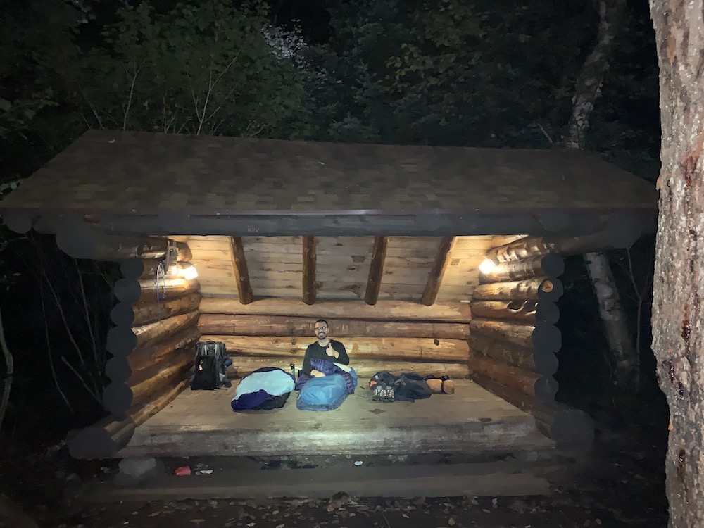
Marcy Dam No. 2 Lean-to, Mount Marcy
Our hike begins at 8:15pm from the Adirondak Loj trailhead (out of Lot 1 at 2180’ elevation). An hour later after a 2.3 mile hike with mildly fluctuating elevation, we settle down at Marcy Dam lean-to No. 2. We enjoy a late dinner of freeze-dried meals near the dam and continue to observe multiple rounds of hikers with headlamps making late returns in the night.
The next morning, we lazily wake up and gauge the forecast with 1 bar of phone service.
The light rain with no lightning gets our green light, so we backpack .8 miles to the Avalanche lean-to to drop off our packs. The lean-to is pleasantly secluded from the trail and includes a mini bridge path.
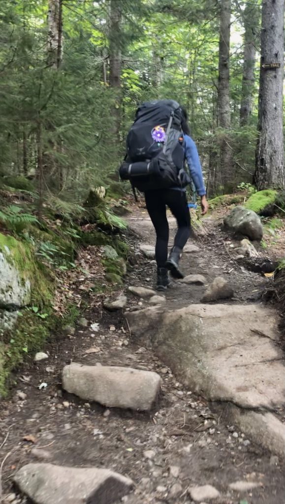
After lightening our load to day packs, we ambitiously start the hike to Mount Marcy at 12pm. Onwards 4.7mi +3024’ total elevation climb.
The climb gets us sweating miles in the woods; it’s a welcome workout. We’re keeping a good pace on rocky trails with gradual inclines. We both experience some minor levels of slipping, which spooks us into being cautious with balance & speed. Slipping and sustaining a severe head injury is a nightmare I don’t want to entertain, ever.
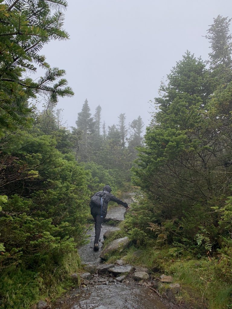
For a while, we feel lucky with mostly clear skies until we reach the last 1.3mi of summiting Mount Marcy. The winds pick up and the fog moves in. Light rain comes and goes.
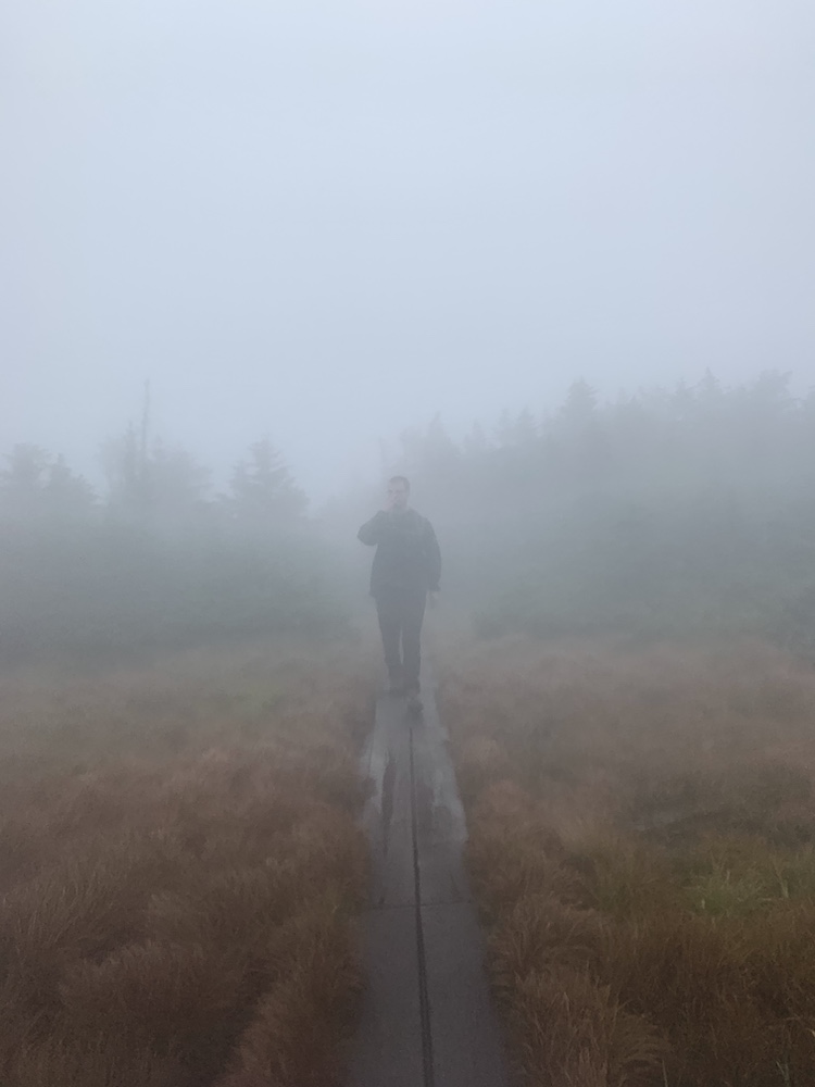
We kissed those mountain views goodbye… Now that we’re focusing on the awkward balance of keeping warm in the winds, keeping cool from overheating and oversweating while summiting, and keeping dry enough to prevent hypothermia (from being cold & wet). We’re in it for the long haul.
At 3:40pm, we reached highest point of New York state: Mount Marcy’s peak at 5344’. Descending the southern side of the mountain took some patience. It was steeper than the way we came up. With the cold winds and light rain, we even had moments when we were overly cautious on the rock face and descended slowly on all fours. Little did we know, there were more obstacles ahead.
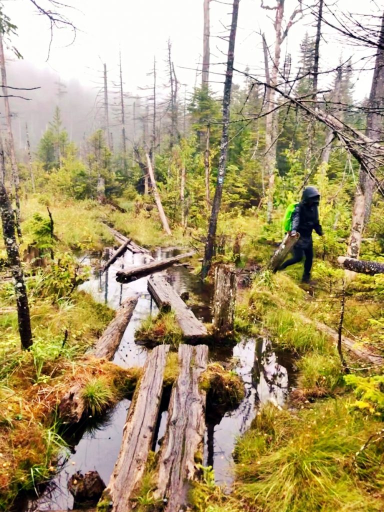
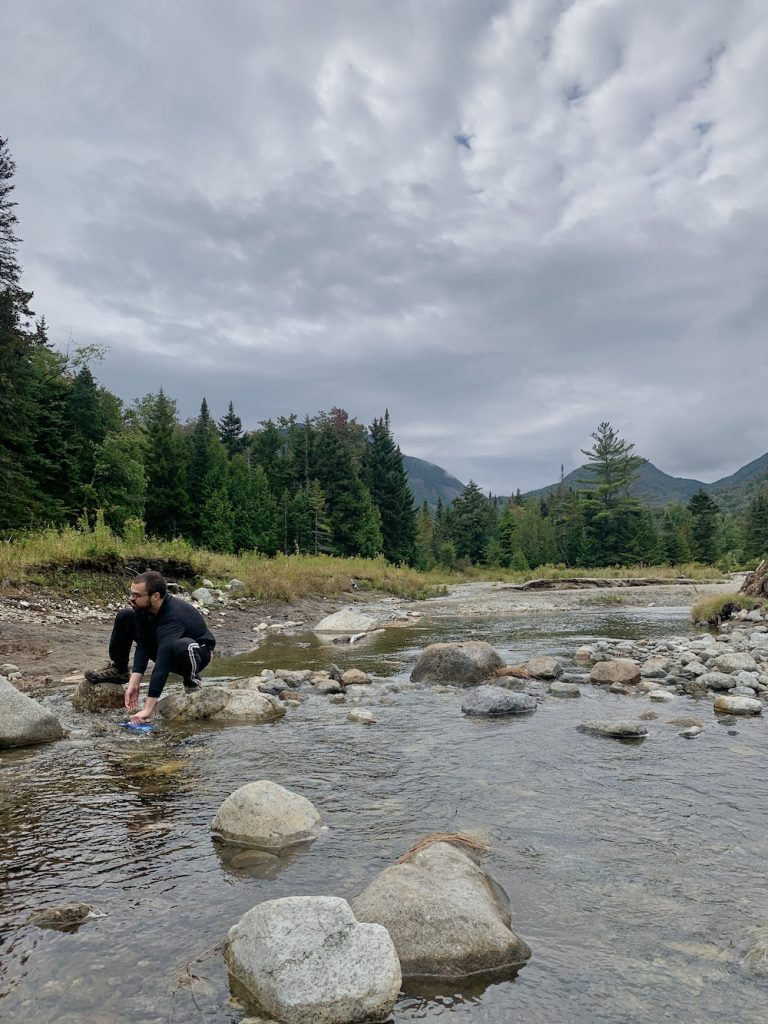
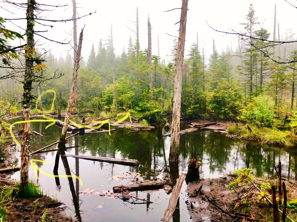
I had read about Adirondack wetlands but trying to traverse them isn’t a whole lotta fun. There were plenty of questionable logs in mud and swamps that have you gambling on your footing. Coldm wet boots? No thanks, we’re trying to avoid that.
And now our interesting end to this hike.
Night 2, Day 2:
Avalanche Lean-to, Return to Car
At this point, it was 7pm with a 7:24pm sunset time. Greg and I were in our last 1.5mi to reach the Avalanche lean-to when we crossed paths with a group of 4 people at the Lake Arnold trail junction.
They asked if we knew where the nearest lean-to was. After I checked my 2 map sources, it happened to be Avalanche. We enthusiastically welcomed them to hike with us. We all got our headlamps out for the impending nighttime.
What they intended as a quick stop at Avalanche to change into dry clothes & refuel on sandwiches, ended up as an urgent overnight recovery to complete the remaining 3.1mi (2hr hike) in the morning.
What Greg and I anticipated as an 8:30pm return time at the lean-to, ended up being 10:30pm as we helped the other group on the trail. Their fatigue was painfully real for the last stretch to the shelter.
But Greg and I wouldn’t change how things turned out as long as we could help — we were really glad to have the group safely with us. They were wonderful company. And we were grateful for another friendly hiker at the communal lean-to who helped with the group’s recovery. (For anyone wondering: yes, our packs were still there.) At one point in the night, hypothermia became a concern for one person in the group; thankfully it helped that the other hiker, Greg, & I offered a sleeping pad, sleeping bag liner, sleeping bag, and clothing layers.
The group woke up feeling better & in high spirits the next morning. Things were tough the previous night, but I applaud their even tougher spirits.
Utilizing the minimal bar of cell service, Greg and I checked the forecast in hopes of hiking down to the legendary Avalanche Pass. Sadly, the forecast still had chances of lightning and rain throughout the day. I’ll forever practice caution with lightning.
So we held off on making breakfast and booked it back to the car to drive to the nearest McDonald’s. Big adventure yields a big appetite, and we earned that breakfast platter!
It was a first ADK backpacking trip to remember!

Mt. Marcy Hike notes:
- If rain isn’t an issue for setup/packing down on a campsite versus a lean-to, then I’d recommend scoping out one of the many marked primitive campsites in the area. NatGeo maps don’t show them, AllTrails does, and I’ve heard good things about Adirondack Mountain Club’s trail map but I personally can’t confirm yet.
- For the Mt. Marcy loop, after surveying from other hikers & based on our own experience, we recommend the safer route of looping south to north (counter-clockwise), than what we did which was north to south (clockwise).
- As a naive, first-time, ADK hiker, I learnt that the return trail still included various elevations that climb up and down. Up. And down. My lazy self reached moments of, “I thought we were done with these climbs?!”
- Lake Arnold area is messy to navigate. You’re not quite missing out by not prioritizing it. Save yourself from wet/muddy boots.
- We chose to park at High Peaks Information Center for $15/day. But it’s worth noting that we saw a lot of people do roadside parking & hiking into connecting trails. I marked this area with an orange “x” north of the Adirondak Loj.