This past fall, Mappy Hour DC members crossed the bridge over the Potomac to Theodore Roosevelt Island on a cloudless November morning to take a leisurely 3 mile hike in our ‘backyard’.
We joined Guarina Lopez, Indigenous activist, educator, and artist from the Pascua Yaqui Tribe to learn more about the lands we live and recreate on, and their connection to the larger ecosystem. As we approached the end of the bridge onto Theodore Roosevelt Island, we headed toward an informational placard to learn more about the woodland oasis we had just stepped foot on.
In 1748, Theodore Roosevelt Island was acquired by George Mason IV, who developed the island as a plantation estate. Then, during the Civil War, the island provided training grounds for the 1st United States Colored Troops. Ultimately, in 1931, the Theodore Roosevelt Memorial Association (TRMA) purchased the island to dedicate as a memorial to the 26th president of the United States, Roosevelt himself. Today, it provides the area with a rare wooded sanctuary, a haven from the rat race in the country’s capital.
Guarina instead invites us to think critically and read between the lines to understand the true history of this place. George Mason IV acquired land from the Nacotchtank indigenous people, who were established on what is now known as the Anacostia (a variant of Nacotchtank) River. The plantation he built operated off the backs of slaves. The 1st USCT were ordered by their White leading officers to make camp on the island due to segregation laws requiring them to train separately from their White compatriots. Furthermore, the regiment’s ranks were largely filled in by the “Contraband” population of runaway slaves forced to take refuge on the island and enlist to secure their own survival. In 1931, the TRMA purchased the island, replanting and renovating over the entire 88.5 acres, leaving essentially no material trace of its more storied history.
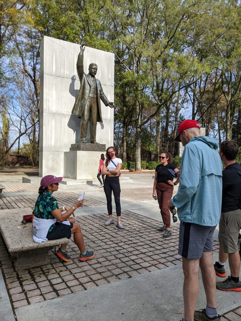
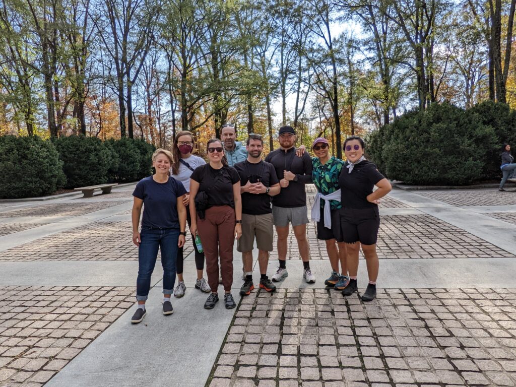
At the end of our route, we gathered around a stone bench on the Memorial Plaza as new friends. Under the 20 foot statue of Roosevelt, we exchanged information, shared plans for the rest of the weekend, and asked about future events for Mappy Hour. We had spent the morning on a physical testament to the erasure of Indigenous populations and POC, for whom the island held much more significance than the idyllic recreation it stands for today. Yes, the island is beautiful, a true green oasis, but it is erasure nonetheless, and thus perhaps the perfect disguise.
Before we dispersed, we took a group photo, but with the trees in the background, away from Roosevelt’s towering presence. The next time each of us would stroll through lands managed by the National Park Service, we would be ready to truly appreciate the fact that history being written by the victors does not mean there isn’t more history to be explored. We would be ready to ask more questions, better questions, and to read between the lines.