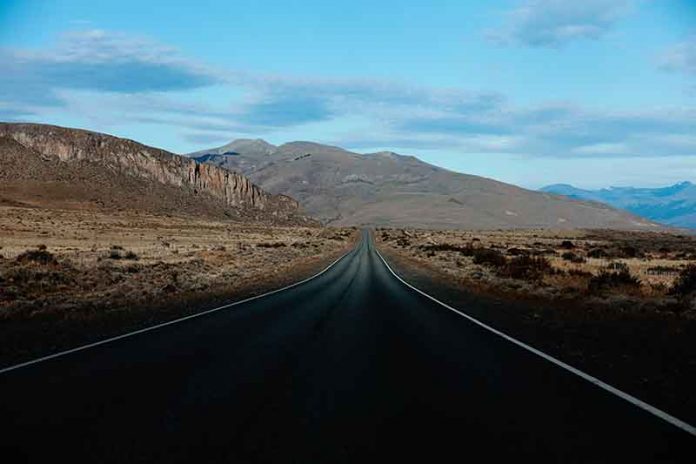
Our road trip out west this week has been a success thanks to a collection of websites and tools we used to plan our journey from state to state. A trip like this would have been very different without all the digital resources we have at our disposal but while we’ve enjoyed hopping from adventure to adventure with relative ease, we have learned a few things. Check out which blogs and services we deemed essential for our car trip as well as some issues to look out for when you embark on your own.
The Outbound Collective
We jumped on the Outbound before we left New York to get an idea of what sort of hikes and trail runs were around our planned destinations. We saved a few adventure ideas and then used the app on the road to look up additional activities when our plans changed.
Local blogs
While the Outbound is full of great photos and directions, we found that smaller blogs that specialized in outdoor adventures in the specific areas we were had more precise information and recommendations. We used Modern Hiker to scope out a few hikes in California (the site also has hikers reporting on trails in Utah, Hawaii and Mexico). We also spent some time looking through Bearfoot Theory who’s author writes about hikes around Utah. No matter the source, be sure to confirm directions and other trail information (like if you need a permit, trail length, or maps) with an official source like the park service or whatever entity is managing the area you’re planning to visit.
Hipcamp
Hipcamp not only makes finding a campsite by location a breeze, it also offers unique campgrounds that can only be booked on the site (one we looked at was near mediation paths and advertised a “transformation labyrinth”). We always describe Hipcamp as the “Airbnb for camping” and similar to Airbnb, you’ll want to book at least 48 hours in advance to give the campsite host time to respond to your request. But if you need to book in a hurry, Hipcamp has a direct book feature that will allow you to confirm your reservation right away.
Google Maps
This one sounds obvious but we couldn’t imagine making this trek without Google Maps. We start most mornings by looking at the different routes to our next location and then zooming in to see what national parks, wilderness or climbing areas we’ll be driving near. We also use the app while we’re driving to direct us but we’ve eaten up a lot of cellphone data doing that and the app will sometimes turn off if you drive out of a service area so use with caution and maybe even pick up a road atlas for backup.
This adventure appeared in today’s edition of our newsletter.

