Thanks to Carly Gurel for sharing this month’s Mappy Hour NWA Map of the Month. You can join upcoming events in Northwest Arkansas here.
In honor of the 50th birthday of the Buffalo National River, I picked this 19.6 Mile float from Hasty to Woolum on the Buffalo for our Map of the Month
This is a good 2 or 3-day float* with lots to see and do along the way. Depending on the river level, I like to take it slow and spend an easy 3 day/2 nights on the river with lots of stops and some great camping. Since the put in is about 2 hours away and has a shuttle I do about a half day, stop early and camp, spend another full day and camp right before Woolum, although I have marked a few of my favorite camp spots along the way. This is always a great one for beginners, as there are quite a few public access points along the way and you can take it out at Carver or Mt. Hersey if needed. I hope you are able to enjoy this section as much as I do!
Trip Details:
- The put in is Hasty Public access on Highway 123. It is approximately 2 hours from Ozark Beer.
- You will need to shuttle 46 minutes to Woolum, so plan to leave early and be on the river mid-afternoon.
- Carver is 4.2 miles (about 2-3 hours)
Staying Overnight – Camp Details
- I like to camp just after Hancock Hollow on the north side of the river (1st Camping Waypoint)
- From Carver to Mt. Hersey is 6.8 Miles (about 3-4 hours) There is a nice camp spot on the south side of the river here.
- There is a great campsite just under Clair Bluff on the south bank.
- I also like a spot on the north bank just after Cane Bluff.
Day 2 on the Buffalo National River:
- From Mt. Hersey to Woolum is 8.6 Miles (about 4-5 hours)
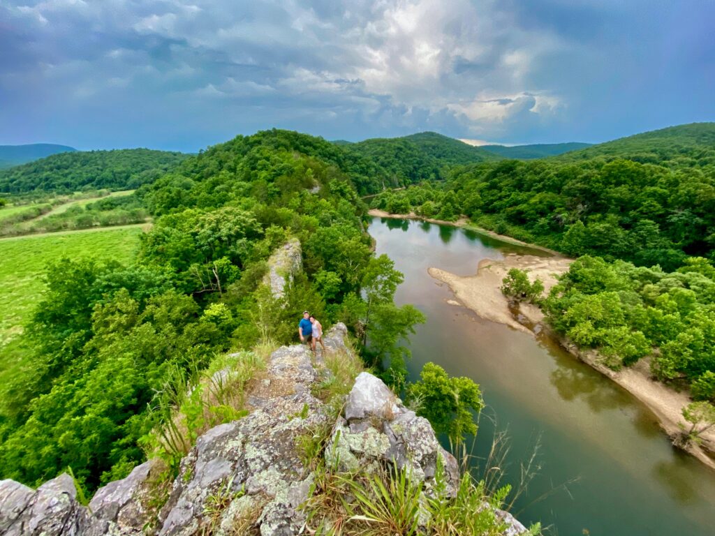
- As you near the end of the float, don’t miss hiking the NARS (it’s the Narrow Ass Rock for a reason- HIKE AT YOUR OWN RISK or just enjoy it from the river)
- As you round the last bend you will see Skull Bluff just after the NARS.
- I like to camp on the big South bank just before you get to the Woolum Take Out.
*(Average river flow is 2 miles per hour. Take the mileage between two points and divide by two. This should tell you approximately how many hours it will take you to float any given section of river, Paddle and float times vary depending on breaks, if you are paddling or not, and the river level)